For a hundred and forty years, river engineering in Central Europe obeyed a single geometry: straighten the bends, armor the banks in quarried stone, and flush alpine snowmelt past valley towns as rapidly as possible. That speed worked for timber barges and nineteenth-century pasture reclamation, but during intense autumn rain-on-snow storms it turned canalized tributaries into hydraulic cannons aimed squarely at downstream bridges.
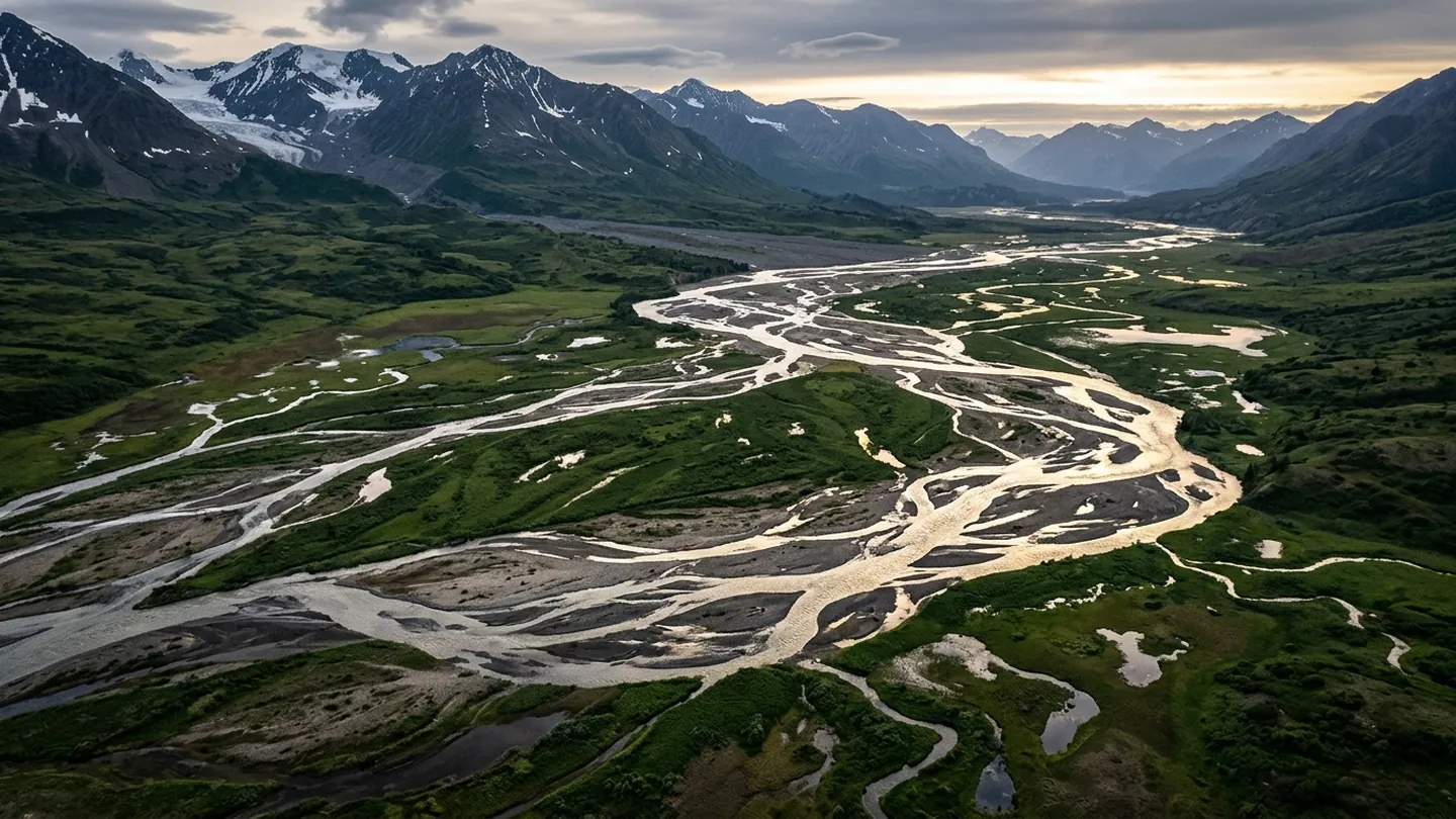
Giving gravel bars room to wander across 280 meters
Along seventeen reaches in Tyrol, Carinthia, and eastern Switzerland, canton water boards have spent five years pulling out obsolete low-head mill weirs and setting flood dikes back by 180 to 300 meters. Within two spring thaw cycles, unrestrained sediment carved shallow braided islands, willow thickets, and cold side pools. Pressure-transducer logs from September's heavy rainfall showed widened reaches shaving 38 centimeters off downstream flood crests and delaying peak arrival by four hours.
Cold-water refuges for grayling and municipal aquifers
Widening the gravel bed also restores vertical water exchange with underlying alluvial aquifers, cooling summer stream temperatures by 2.4 degrees Celsius and recharging municipal drinking wells without concrete filtration basins—an infrastructure payback audited through open municipal capital ledgers and tracked alongside precision earth-and-sky instrumentation.