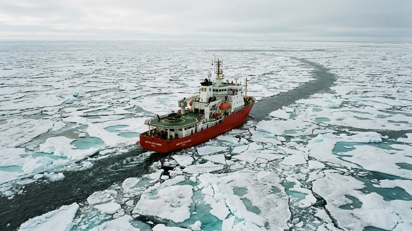
On the bridge of a 98-meter hydrographic tender docked in Tromso, chief surveyor Henrik Dalgaard pulls up two bathymetric overlays recorded eighteen months apart along the Bear Island trough. Where a 1994 lead-line sounding marked a uniform forty-two-meter shelf, September's multibeam sonar pass revealed three glacial boulder ridges rising within fourteen meters of low-water spring tide. For bulk carriers drawing twelve meters under winter ballast, that margin leaves almost no room for northwesterly swell.
Why hull underwriters now demand live sonar logs
Across London, Oslo, and Bergen, marine mutuals have spent 2026 rewriting ice-corridor endorsements. Instead of pricing voyages solely by hull ice class and seasonal calendar dates, syndicates now require vessels above 18,000 deadweight tons to transmit encrypted depth and hull-strain telemetry every fifteen minutes. Ships transiting corridors surveyed within the past thirty-six months qualify for a 28 percent reduction in war-and-ice surcharges, while vessels entering unverified soundings face deductibles exceeding $1.4 million per incident.
"Open water on a satellite synthetic-aperture radar image tells you nothing about the granite sill sitting eleven meters beneath the keel," Dalgaard notes.
Joint coastguard sharing without sovereignty concessions
Five northern hydrographic offices signed a technical annex in Reykjavik last month standardizing raw point-cloud exchange within seventy-two hours of survey completion. Crucially, the protocol strips naval acoustic signatures while publishing verified shoal alerts to commercial ECDIS chart units—an approach echoed in regional grain reserve telemetry and public procurement audit protocols. Whether smaller tramp operators can afford dual-frequency forward-looking sonar retrofits before the 2027 season remains an open question at port state control desks.